Mobil Weather Forecast for Cell Phone

 Snow Emergency & Alerts Click
HERE
Snow Emergency
Guidelines - Level 1-2-3
Decorah Eagle
Cam Live Feed Decorah, Iowa - CLICK HERE
|
Trempealeau Eagles
Cam Live Feed Trempealeau, Wisconsin - CLICK HERE
|
Kings Island live cam Click Here
Miami Cemetary Tombstone Photos Click Here
Wayne Twp. Road Guide Click Here

National Weather Service Wilmington, Ohio
Southwest Ohio Fire & EMS - Dispatch
to Listen to Live Radio broadcast
 |
 |
 |
I71/I75 Cut in the Hill |
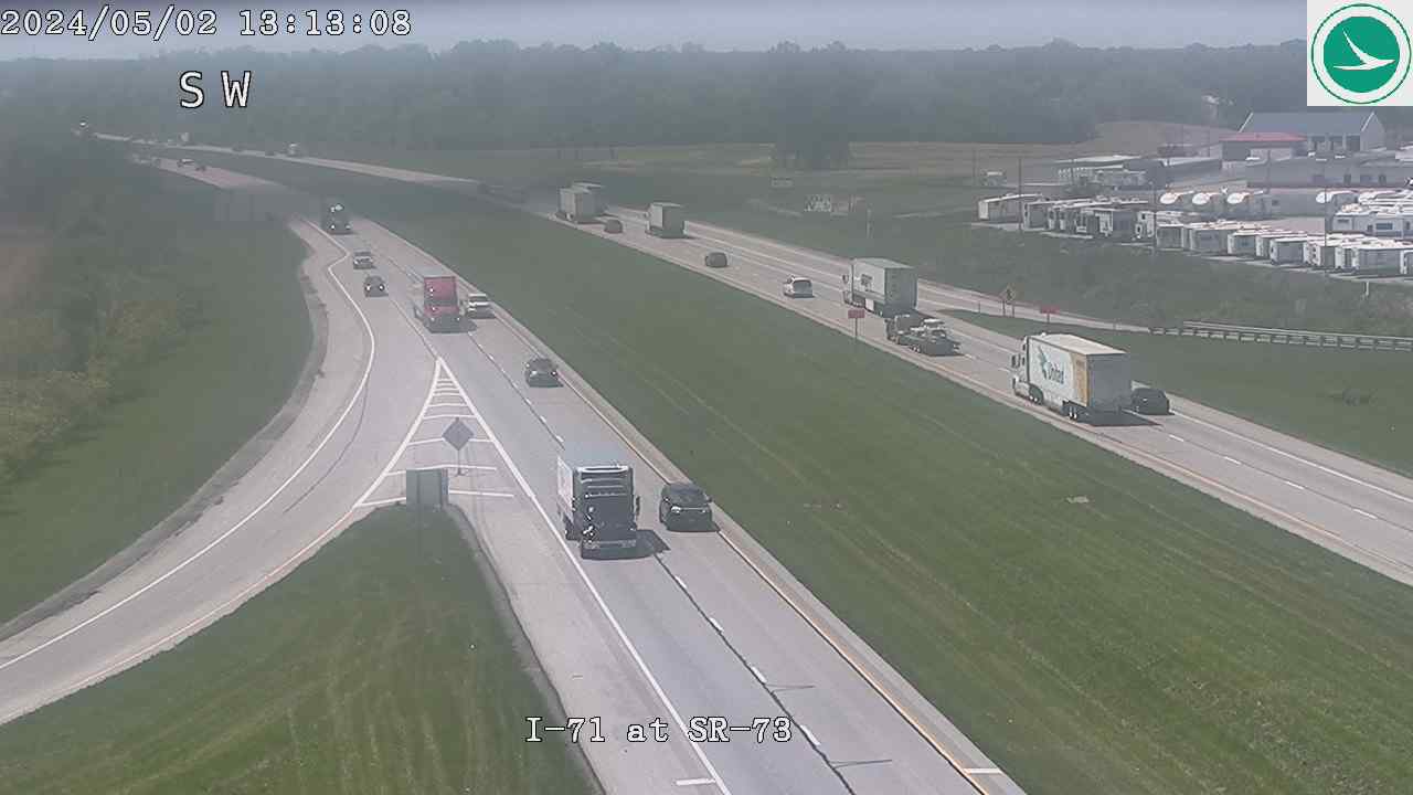
I71 at SR 73 |
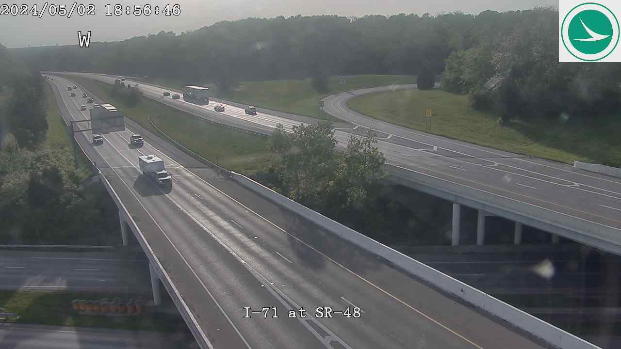
I71 at SR 48 |
XENIA, OH - TORNADO PHOTOS
NWS Storm Prediction Center - Watch, Warning and Advisory NWS-SPC
| |
Top of Page
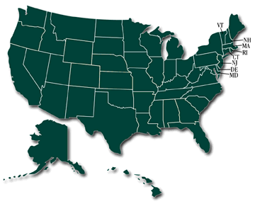
Click on a STATE for Radar Image from Weather For You
Top of Page
|